Select or drop a image or 3D model here to search.
We support JPG, JPEG, PNG, GIF, WEBP, GLB, OBJ, STL, FBX. More formats will be added in the future.
Asset Overview
Low resolution version of an aerial survey using a drone, data tied to OSGB36 using GPS

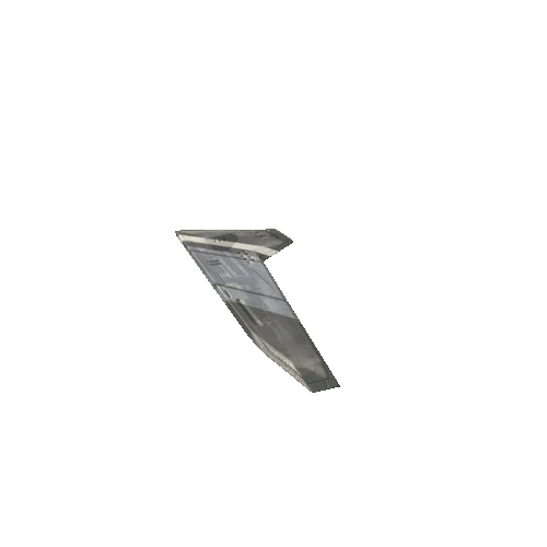


/Screenshots/BloodskullsFighterWing12Grey (2)_110.webp)
