Select or drop a image or 3D model here to search.
We support JPG, JPEG, PNG, GIF, WEBP, GLB, OBJ, STL, FBX. More formats will be added in the future.
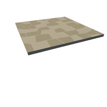
Asset Overview
This is my first attempt at taking Lidar data from the enviroment agency creating height maps and overlaying aerial imagery