Select or drop a image or 3D model here to search.
We support JPG, JPEG, PNG, GIF, WEBP, GLB, OBJ, STL, FBX. More formats will be added in the future.
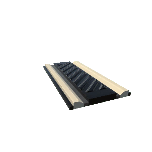
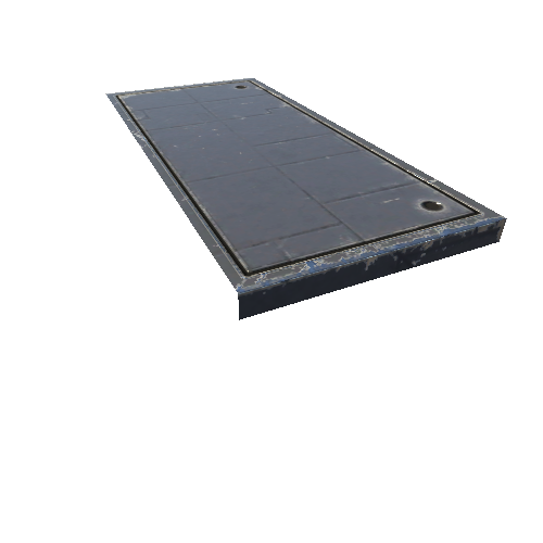
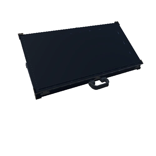
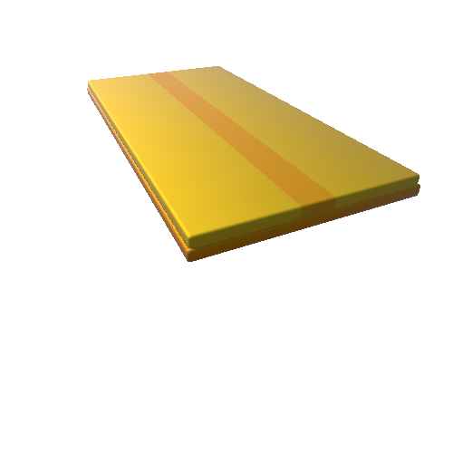
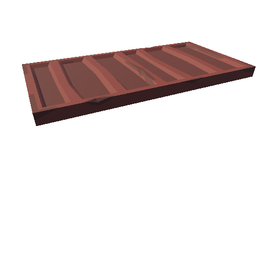
Asset Overview
This is a simple scan of the Ordnance Surveys's benchmark plate on the trig (short for trigonometry) point at the top of Lickey Hills in Birmigham UK. Trig points like this were located all over the UK and were used for surveying to make maps. These days many have disappeared or fallen into disrepair as use of GPS for land surveying makes then superfluous.
If you like this model please read more about it on the blog page below:
http://parth3d.co.uk/lickey-hills-trig-point
Please note that this model is provided without any license for commercial use. It is intended simply as a historical model you can have the fun of printing yourself. And of course it is intended to be a motivation for you to visit Lickey Hills yourself.