Select or drop a image or 3D model here to search.
We support JPG, JPEG, PNG, GIF, WEBP, GLB, OBJ, STL, FBX. More formats will be added in the future.
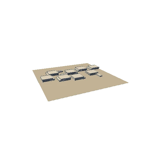
Asset Overview
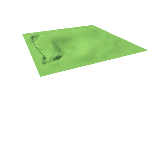
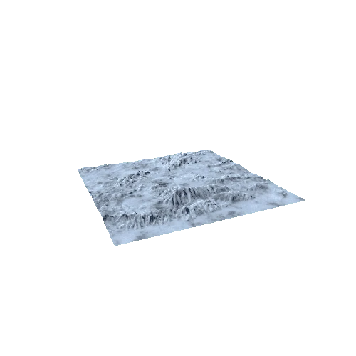
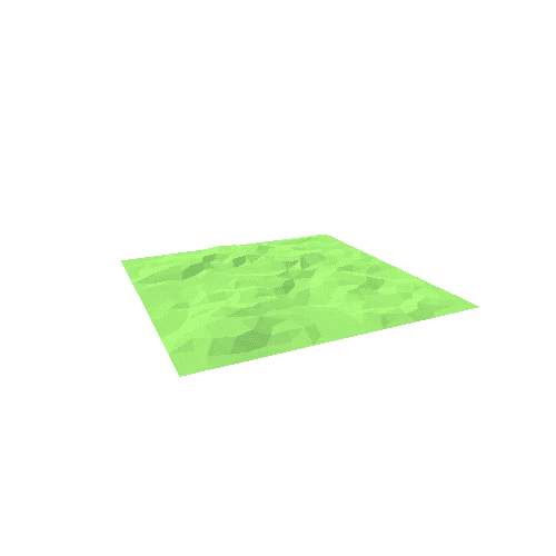
Aside from the water, everything here is straight out of the camera, and has been lowered to Medium settings.
Completion time for the project is in a matter of minutes!
There is definte scope for getting notably better results, of which will be released towards the end of 2017 and scaled in accordance to various advancements, at the moment you're seeing something which strikes a good balance between quality and cost.
This technology will obtain similar results on any real world location, what you do with the 3D data is up to you.
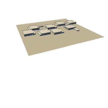
Videogames, Architectural Visualisation, 3D Archive, Surveys are the most obvious applications.
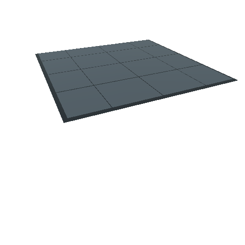
Heightmap data for direct import into terrain editors inside game engines will allow you further control over how you utlise your data, including procedural texuring and additional sculpting.
A link to to which will follow here shortly... (AWAITING URL)
Any questions then please leave a comment, or E-Mail James@Dynamic3D.co.uk