Select or drop a image or 3D model here to search.
We support JPG, JPEG, PNG, GIF, WEBP, GLB, OBJ, STL, FBX. More formats will be added in the future.
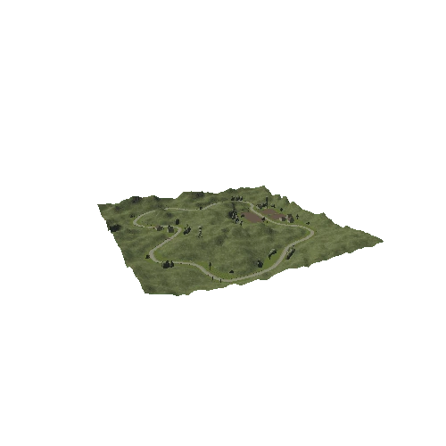
Asset Overview
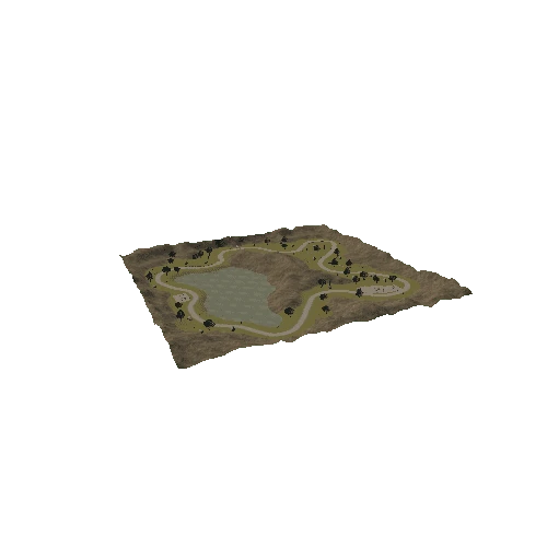
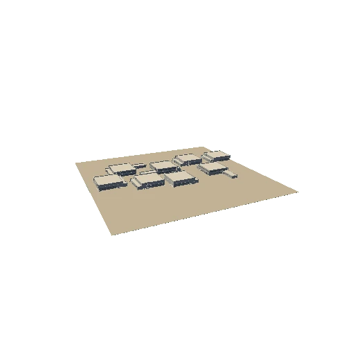
Flown using Pilot PE single oblique pattern and a Phantom 4 Pro using the mechanical shutter to reduce artifacts, complied in Pix4D.
For some reason (?), the mapping function only lets you fly nadir, so it you want a gimbal angle other than -90 you have to use "oblique".
Oblique aparently is sortie 1 = nadir, then sorties 2-5 can use whatever gimbal you set.
If you don't fly all five sorties, the resulting model is missing needed side data.
Note: Mapping in nadir only does make sense if we consider the "mapping" function is intended for orthomosaic map images, which by nature are 2D.
Likewise the "oblique" function is for 3D models.
In this sense the 2D map option correctly supports the usage of a -90 degree gimbal but that setting *should be left to the pilots discresion and not hard coded*.