Select or drop a image or 3D model here to search.
We support JPG, JPEG, PNG, GIF, WEBP, GLB, OBJ, STL, FBX. More formats will be added in the future.
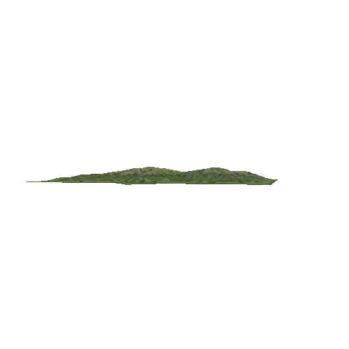
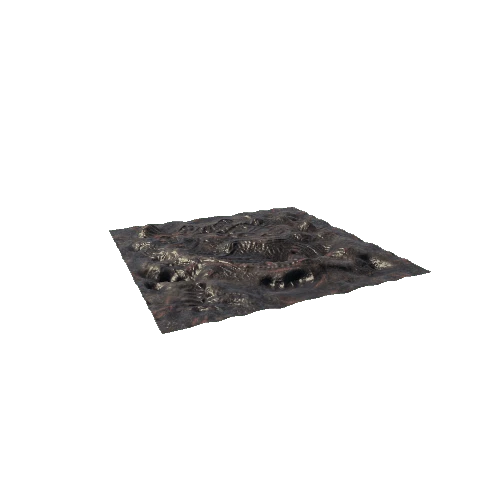
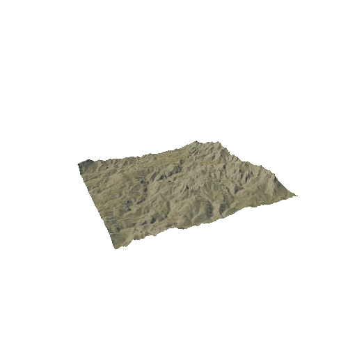
Asset Overview
This was created almost completely with algorithms, the only starting data used was a 25cm Lidar DSM. Algorithms save hours of work when compared to doing this sort of thing by hand.
- Stream/drainage network delineation (5th - 9th order).
- DSM to DTM processing.
- Hillshade generation.
- Building extraction (some minor tweaks by hand required).
- Tree density, height, and boundaries.
- Standing water feature extraction.