Select or drop a image or 3D model here to search.
We support JPG, JPEG, PNG, GIF, WEBP, GLB, OBJ, STL, FBX. More formats will be added in the future.
Asset Overview
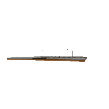
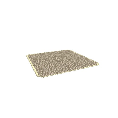
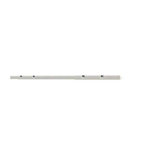
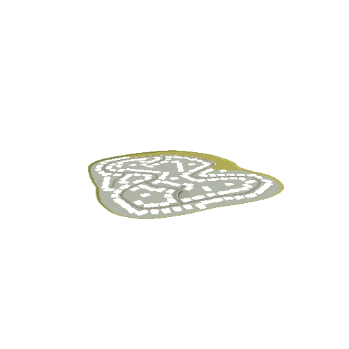
This is A Digital Elevation Model of Silchester.
The Elevation has been exaggerated.
One of the Trenches is even visible during excavation, it is possible to see the spoil created from the dig.
The Data is Lidar Data from https://environment.data.gov.uk/DefraDataDownload/?Mode=survey
The Map and Model are created in QGIS.