Select or drop a image or 3D model here to search.
We support JPG, JPEG, PNG, GIF, WEBP, GLB, OBJ, STL, FBX. More formats will be added in the future.
Asset Overview
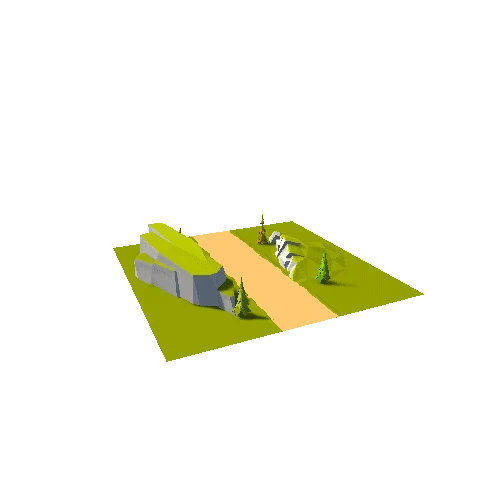
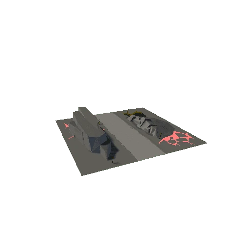
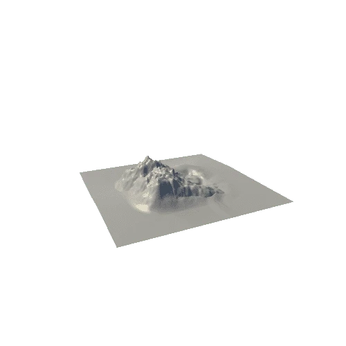
This is a photogrammetry map of a metal pole building generated with Drone Deploy software.
Captured by a DJI Inspire 2 with X5S camera and 12mm Olympus lens.