Select or drop a image or 3D model here to search.
We support JPG, JPEG, PNG, GIF, WEBP, GLB, OBJ, STL, FBX. More formats will be added in the future.
Asset Overview
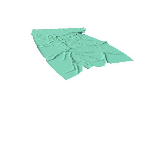
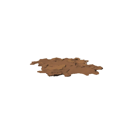
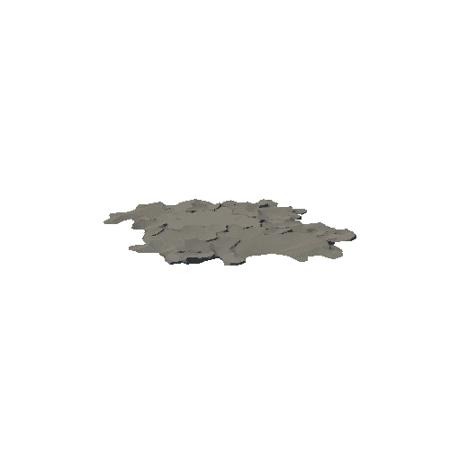
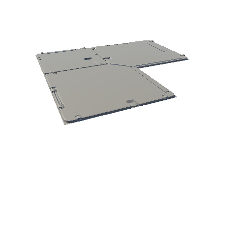
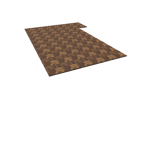
This Digital Terrain Model covers 14 hectares (~35 acres) of upland pasture in the Yorkshire Dales National Park, just south of Grassington. It was generated using Agisoft Photoscan, from 2,359 JPG images taken with a DJI Phantom 2 Vision+ drone. False lighting is applied in the final render to accentuate micro-topography associated with archaeological remains. To see the actual texture, view the Base Color.
This work was undertaken as part of my MSc dissertation at University of Bradford. Several geophysical surveys in select parts of the research area revealed buried field boundaries and structures associated with the visible topographic features. These features date from the Iron Age through to the medieval period.