Select or drop a image or 3D model here to search.
We support JPG, JPEG, PNG, GIF, WEBP, GLB, OBJ, STL, FBX. More formats will be added in the future.
Asset Overview
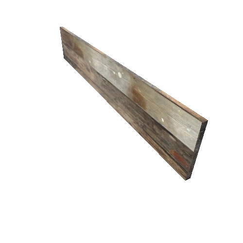
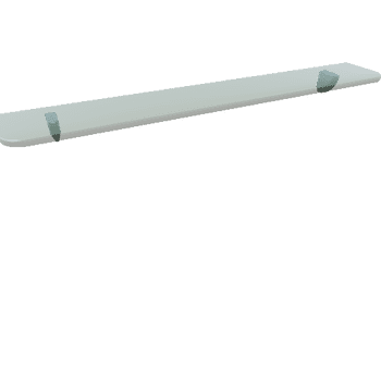
Mesh from photogrammetry, drone Trimble UX5
Site Description
The Annaberg Sugar Plantation in the Virgin Islands is part of one of the largest historic migrations of people and resources throughout the world. For centuries, the Virgin Islands was a crossroads for indigenous peoples, colonial powers, and the transatlantic slave trade. The plantation structures that the National Park Service preserves on the site today demonstrate the agricultural success of the Danish Colonial era, but also its human cost. A 40-foot high windmill constructed with sails to direct the wind was state of the art at the time of its completion in 1805. Not far from the windmill, built into the foundation of the sick house, the Annaberg “Dungeon” served as a means of punishment for enslaved laborers....more info: https://doi.org/10.26301/vv0h-dq68
CyArk 2019: Annaberg Plantation - LiDAR - Terrestrial , Photogrammetry . Collected by CyArk , Trimble . Distrubuted by Open Heritage 3D. https://doi.org/10.26301/vv0h-dq68