Select or drop a image or 3D model here to search.
We support JPG, JPEG, PNG, GIF, WEBP, GLB, OBJ, STL, FBX. More formats will be added in the future.
Asset Overview
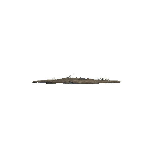
A 3D model of Area B at the Iron Age copper-producing site Khirbat al-Jariya in Faynan, Jordan. This model was produced by the Edom Lowlands Regional Archaeology Project by Matthew D. Howland through balloon photography and Image-Based Modeling.
References: Brady Liss, Matthew D. Howland, Brita Lorentzen, Craig Smitheram, Mohammad Najjar and Thomas E. Levy 2020 Up the Wadi: Development of an Iron Age Industrial Landscape in Faynan, Jordan, Journal of Field Archaeology, DOI: 10.1080/00934690.2020.1747792
Matthew D. Howland, Brady Liss, Mohammad Najjar, and Thomas E. Levy. 2015 GIS-based mapping of archaeological sites with low-altitude aerial photography and structure from Motion: A case study from Southern Jordan. In 2015 Digital Heritage, vol. 1, pp. 91-94. IEEE, 2015.
