Select or drop a image or 3D model here to search.
We support JPG, JPEG, PNG, GIF, WEBP, GLB, OBJ, STL, FBX. More formats will be added in the future.
Asset Overview
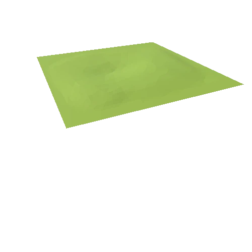
This is a 3D landscape view of the Avebury and Silbury Hill area with just a few of the many archaeological sites here highlighted with labels. The labels can be switched off in the Settings options available at the bottom of the model view. The model is best viewed fullscreen. The model uses Environment Agency 1 metre DTM LiDAR data which is freely available for download here http://environment.data.gov.uk/ds/survey/#/survey The 3D model was created in QGIS using the QGIS2threeJS plugin
My thanks to Mike Gill of the Avon Valley Archaeological Society for creating the python code which allows QGIS models to be properly rendered and hosted on Sketchfab.
My thanks also to Jost Hobic who helped me out understanding how to run python code in Windows 10
Feel free to download and share this model as you wish with appropriate attribution.

/Screenshots/Water4Example (Advanced)_20.webp)


