Select or drop a image or 3D model here to search.
We support JPG, JPEG, PNG, GIF, WEBP, GLB, OBJ, STL, FBX. More formats will be added in the future.
Asset Overview
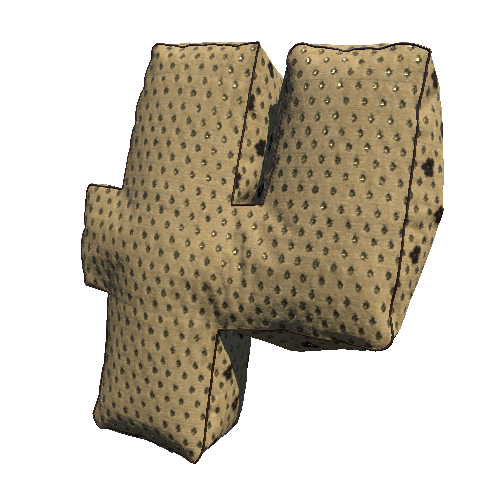
The Babylonian Map of the World, also known as the Imago Mundi is a Babylonian-era fired clay tablet written in the ancient Akkadian language, and contains a depiction of the known world at that time. Likely made around the 6th Century BC, the map is centered on the Euphrates, flowing from the north (top) to the south (bottom).
The city of Babylon is shown on the Euphrates, Susa, the capital city of Elam, is shown to the south, Urartu to the northeast, and Habban, the capital of the Kassite people is shown to the northwest.
The tablet was excavated by Hormuzd Rassam at Sippar, Baghdad, north of Babylon on the eastern bank of the Euphrates River. It was acquired by the British Museum in 1882, with the text first translated in 1889.
"The Map of the World tablet" (https://skfb.ly/6WWzY) by The British Museum is licensed under CC Attribution-NonCommercial-ShareAlike (http://creativecommons.org/licenses/by-nc-sa/4.0/). Modified to increase contrast, saturation, and sharpness.
Nate Loper #ArizonaGuide