Select or drop a image or 3D model here to search.
We support JPG, JPEG, PNG, GIF, WEBP, GLB, OBJ, STL, FBX. More formats will be added in the future.
Asset Overview
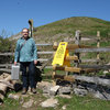
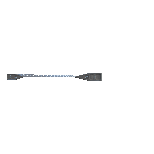
Caerhun (Roman Canovium) was founded somewhere around 77-78 AD during Agricola's campaigns in North Wales. It lies at a strategic crossing on the west bank of the River Conwy and also controlled the coastal road between the legionary fortresses at Chester (Deva) and Caernarfon (Segontium). The auxiliary unit which occupied the fort is not known, but a tile of the 20th Legion is reported to have been found in 1696.
The fort was remodelled in the 2nd century AD with a stone-walled face replacing the earlier clay and rubble rampart. The fort was potentially abandoned for a while after 150 AD, but finds of 3rd and 4th century AD date suggest occupation at this time. The church of St. Mary's in the north east corner of the fort overlies former barrack blocks and is believed to be early Medieval in origin, but the fabric visible today dates to between the 13th and 19th centuries.
The dry weather has caused the grass to die back over buried wall features which now appear as light brown markings in the grass