Select or drop a image or 3D model here to search.
We support JPG, JPEG, PNG, GIF, WEBP, GLB, OBJ, STL, FBX. More formats will be added in the future.
Asset Overview
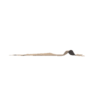
Drone survey taken of Castle Hill, Meams, Angus
This small fortification is situated on the precipitous ridge of outcrop that makes up the summit of Castle Hill to the WNW of Meams farm. No dimensions for the interior have been recorded, but it comprises a small inner enclosure on the very summit, which is girt with cliffs along its SSE and NNW flanks, with outlying ramparts across the spine of the ridge to block access from the ENE and WSW. Leaving aside the small inner enclosure, the interior of the fort measures about 20m in breadth and probably extends for a distance of about 90m WSW from where the upper surface of the ridge comes to a narrow point on the ENE (1.7ha). The defences at the WSW end comprise two ramparts some 14m apart, the inner of which forms a stony scarp from 1m to 3m high. The entrance is on the SW. Several small pens have been built into the rubble of the inner wall.
Information from An Atlas of Hillforts of Great Britain and Ireland