Select or drop a image or 3D model here to search.
We support JPG, JPEG, PNG, GIF, WEBP, GLB, OBJ, STL, FBX. More formats will be added in the future.
Asset Overview
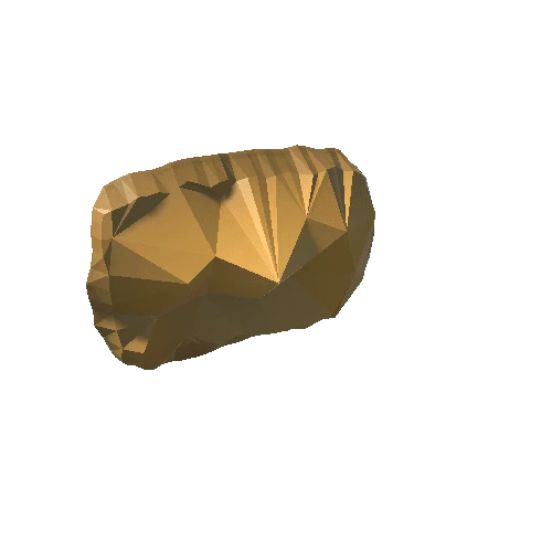
Rectangular Roman distance slab from the Antonine Wall, made of local buff sandstone, and dug up in 1803 on the land of East Millichen (formerly Low Millochan) Farm, around 100m south of the line of the Antonine Wall (NS 573 720). The slab was subsequently built into the wall of a dovecot near Strathleven House in Dumbarton. The incised Latin inscription on the slab testifies to the completion of 3666 and a half paces of the Antonine Wall, between Summerston and Castlehill, by a detachment of the Sixth Legion (Sixth Victrix). The inscription is framed by moulding carved in relief, flanked by peltae, the horns of which terminated in griffin-heads and the central projections in rosettes (now much worn). The slab is fractured vertically across the inscription, the top right and bottom left-hand corners are missing, and the stone is generally very weathered.


/Screenshots/grave.webp)