Select or drop a image or 3D model here to search.
We support JPG, JPEG, PNG, GIF, WEBP, GLB, OBJ, STL, FBX. More formats will be added in the future.
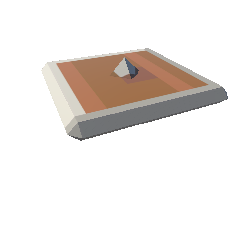
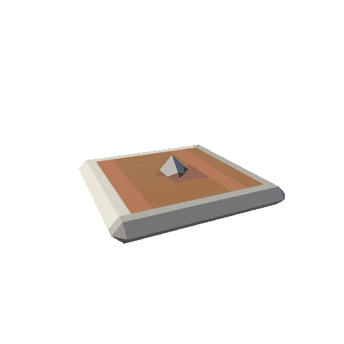
Asset Overview
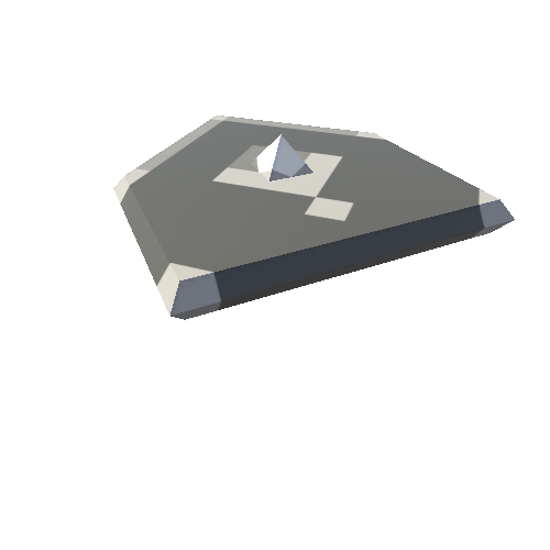
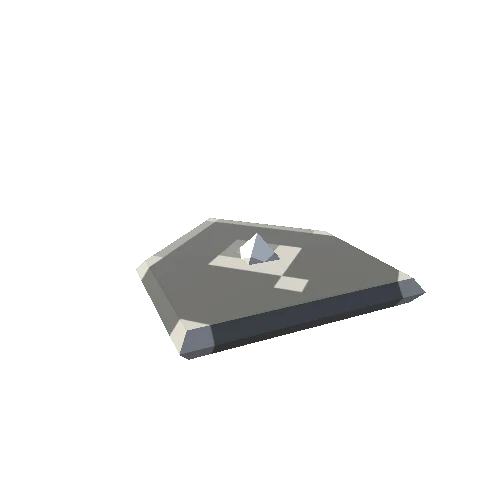
This is a 3D model of the Doklam Plateau region on the borders of India/China/Bhutan. It shows a number of strategic and tactical points.
This model is designed to acompany an [associated report](https://pageflow.aspi.org.au/mappingdoklam) on the region. Please check that out too.
There is also a version of this model with satellite imagery draped over the terrain available [here](https://skfb.ly/o78y8).