Select or drop a image or 3D model here to search.
We support JPG, JPEG, PNG, GIF, WEBP, GLB, OBJ, STL, FBX. More formats will be added in the future.
Asset Overview
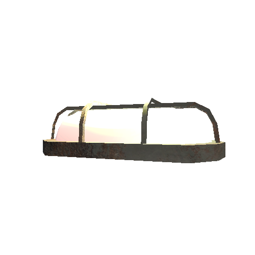
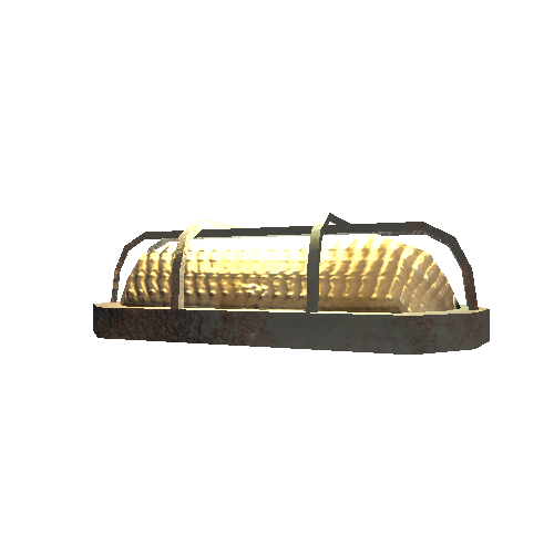
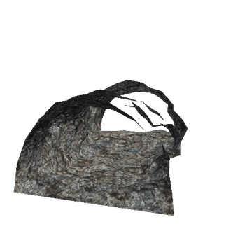
Dunbeg promontory fort KE052-270001- was damaged by stones in 2014. This model was created from aerial fottage shot in 1982 from the RTE Archive with images of the fort enhanced from Bing Maps. https://www.rte.ie/archives/2017/0202/849540-irelands-ancient-landscape/
Dunbeg/An Dún Beag: This small but impressive fort is located on a sheer cliff promontory which projects S into Dingle Bay at the base of Mount Eagle. It has suffered extensive erosion since it was first recorded in the early 19th century, and in 1977 the OPW initiated an excavation to try and reveal both the chronology and the nature of the occupational sequence of the site before much more of it was destroyed. [GIS viewer for National Monuments](webgis.archaeology.ie/historicenvironment/?SMRS=KE052-270001-)
https://voicesfromthedawn.com/dunbeg/