Select or drop a image or 3D model here to search.
We support JPG, JPEG, PNG, GIF, WEBP, GLB, OBJ, STL, FBX. More formats will be added in the future.
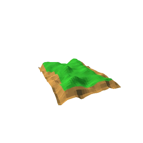
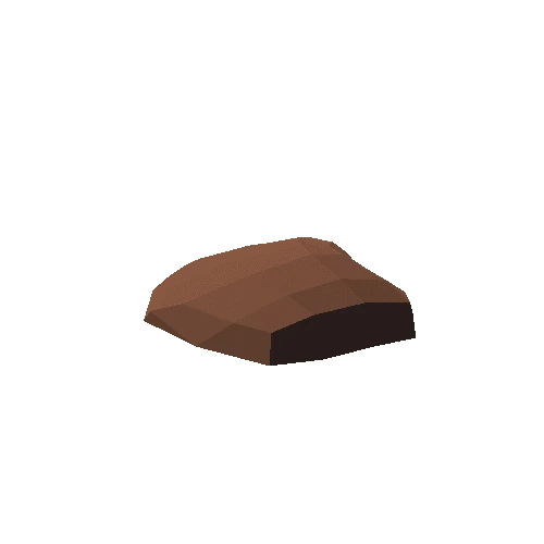
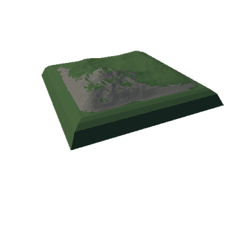
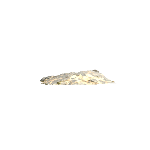
Asset Overview
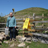
Earl’s Hill Hillfort is an Iron Age enclosure 7 miles south west of Shrewsbury and immediately south east of the village of Pontesbury, Shropshire. The site consists of an earlier oval enclosure on the summit with a defended north gate and a later elongated annexe to the south extending along the top of the ridge. There is another defended enclosure approx. 400ft down through the woodland to the north known as Pontesford Hill Hillfort which is covered in trees.
Model created from drone photogrammetry using a DJI Phantom 4 Pro
You can read a detailed description of the hillfort here http://www.heritagegateway.org.uk/Gateway/Results_Single.aspx?uid=MSA763&resourceID=1015
There are links to two pdf archaeological reports on Earl’s Hill and Pontesford Hill here http://pontesfordhillfriends.co.uk/about-the-hill/pontesford-hill-and-earls-hill/archaeology-2/
The hill is also a Nature Reserve maintained by the Shropshire Wildlife Trust https://www.shropshirewildlifetrust.org.uk/reserves/earls-hill