Select or drop a image or 3D model here to search.
We support JPG, JPEG, PNG, GIF, WEBP, GLB, OBJ, STL, FBX. More formats will be added in the future.
Asset Overview
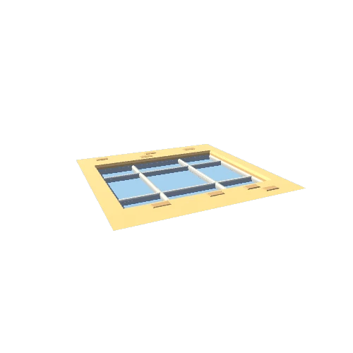
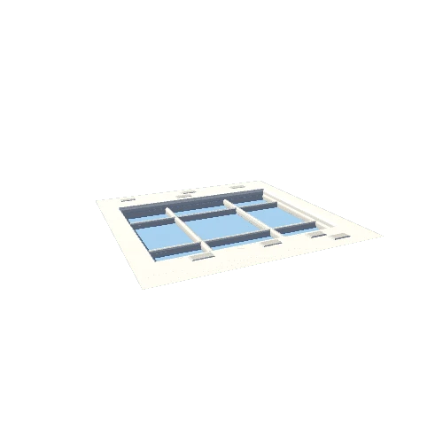
This is an *unedited* 3D model of trench 2 (dated Aug. 18, 2021), which was made during the Waldling 2021’s teaching excavation. The model shows the excavation's final state of that day during perfect light conditions due to a very cloudy sky. It was captured by an Apple iPad Pro (2021) using the in-built LIDAR sensor within less then 10 min (including processing time).
This method seemingly provides a very quick way to capture quite accurate 3d models of single features or, as shown, whole trenches within effectively no time, especially compared to traditional image-based-modeling.
For the results of a first test, refer to the model of [Aug. 18, 2021](https://sketchfab.com/3d-models/excavation-at-waldling-2021-08-16-d63440d836c7407da2bc86fd54b51fdc)