Select or drop a image or 3D model here to search.
We support JPG, JPEG, PNG, GIF, WEBP, GLB, OBJ, STL, FBX. More formats will be added in the future.
Asset Overview
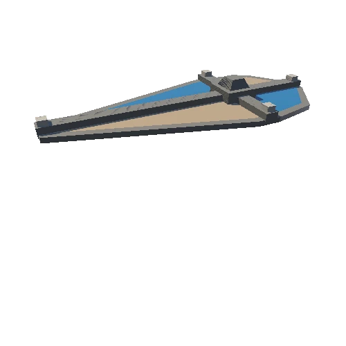
3D Model, from Lidar data decimated.
The data of Fort San Lorenzo was collected in March 2013 by Mr. Daryl Johnson, Founder of Summit Engineering and Design in Ferndale, Washington. The data was donated to CyArk who archived the data and provided a copy to the site.
Located on the west bank of the modern Panama Canal, Fort San Lorenzo is an outstanding example of Spanish Colonial military architecture. Construction of the structure was started in 1595 upon the orders of King Philip the Second of Spain to protect the mouth of the Chagres River, a strategic waterway connecting the Atlantic and Pacific oceans.
CyArk 2018: Fort San Lorenzo - LiDAR - Terrestrial . Collected by Summit Engineering and Design . Distrubuted by Open Heritage 3D. https://doi.org/10.26301/jndy-6p72
