Select or drop a image or 3D model here to search.
We support JPG, JPEG, PNG, GIF, WEBP, GLB, OBJ, STL, FBX. More formats will be added in the future.
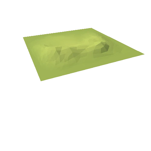
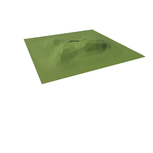
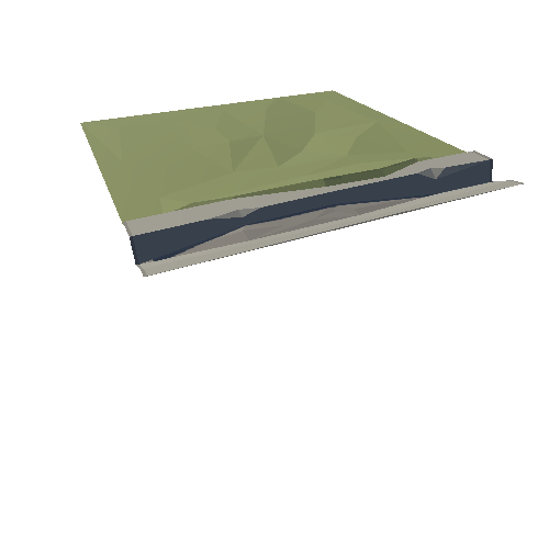
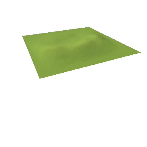
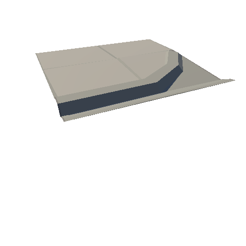
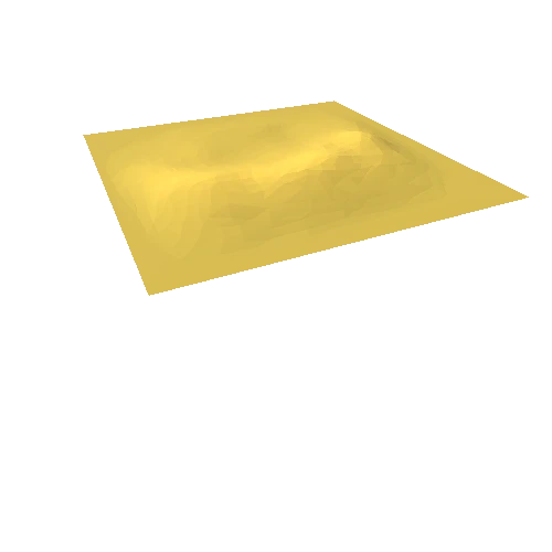
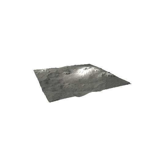
Asset Overview
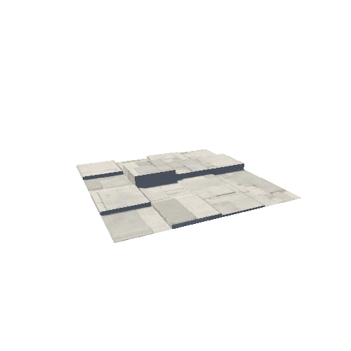
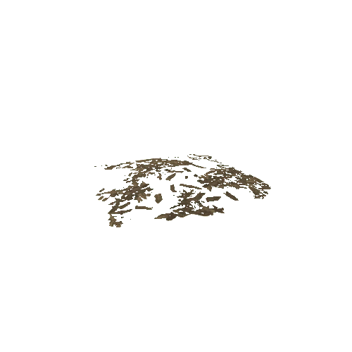
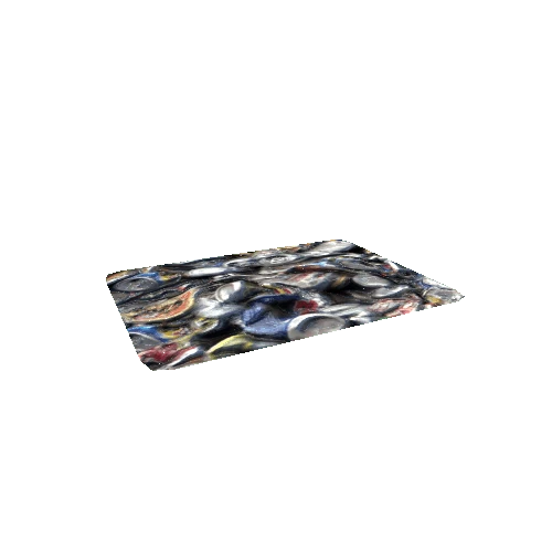
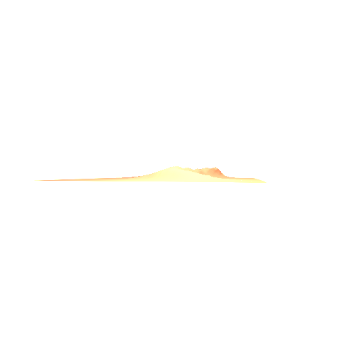
Decimated model generated from a drone based photogrammetry survey by Jamie Davis at Ohio Valley Archaeology and produced in Agisoft Photoscan. This model is one part of a multidiciplinary survey of Grave Creek Mound which includes ground penetrating radar and earth resistivity tomography.