Select or drop a image or 3D model here to search.
We support JPG, JPEG, PNG, GIF, WEBP, GLB, OBJ, STL, FBX. More formats will be added in the future.
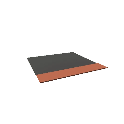
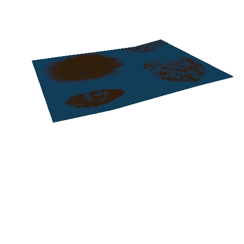
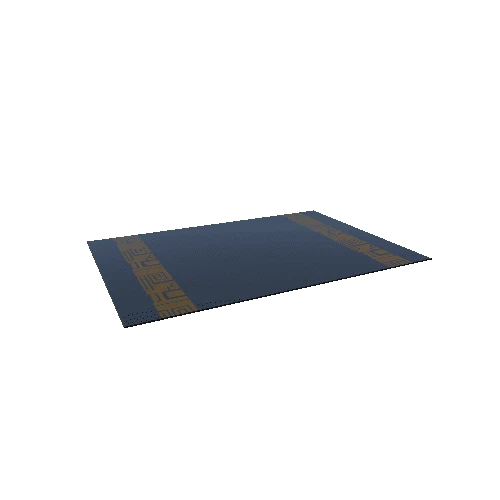
Asset Overview
The tip of the Gulf of Suez and the Great Bitter Lake on the Red Sea in Egypt. Also featuring the lower part of the Suez Canal which was completed in 1869.
Previous canals, including attempts to connect the Nile River to the Red Sea were undertaken by pharaohs Sunesret III (12th Dynasty) and Necho II (26th Dynasty), as well as Perisan King Darius I of the Achaemenid Empire, and Macedonian Greek pharoah Ptolemy II Philadelphus.
The traditional crossing of the Red Sea or Reed Sea (Yam Suph) by the Hebrew Israelite people during the biblical Exodus is near the upper part of the Gulf of Suez along the 6-mile span from near modern Al-Adabiya to Ash Shatt.
Supporting identification of Pi-Hahiroth or (Mouth of the Canals) is localized as the place where the canal of Sunesret III entred the Gulf of Suez, just to the west of the modern Suez Canal. Migdol has been identified as a Middle Kingdom fortress established there, later rebuilt and renamed Clysma by Roman Emperor Trajan around AD 110. -Nate Loper