Select or drop a image or 3D model here to search.
We support JPG, JPEG, PNG, GIF, WEBP, GLB, OBJ, STL, FBX. More formats will be added in the future.
Asset Overview
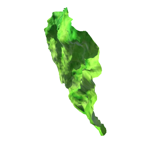
This is another remote aerial scan. It was done very quickly and from a significant distance. This massively limited accuracy and definition and poor scan setting meant laser measurements did not match the RGB image capture. There was also poor camera settings meaning that the Tent roof caused a large amount of reflective noise that interfered with bothe laser and visual imaging. This project would benefit from low altitude scanning, GCP's and close-up ground level imaging to improve accuracy.
