Select or drop a image or 3D model here to search.
We support JPG, JPEG, PNG, GIF, WEBP, GLB, OBJ, STL, FBX. More formats will be added in the future.
Asset Overview
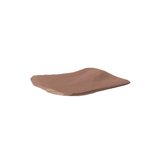
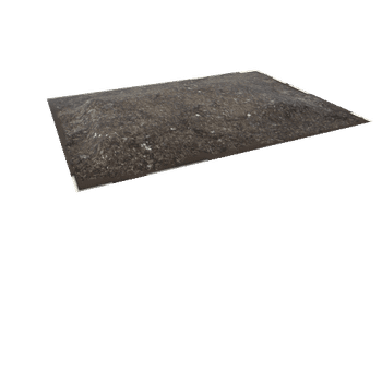
A 3D Model created from a return Drone/UAV aerial survey [imagery and GNSS Ground Control] showing the topography of a sinkhole collapse of a section of Historic Salt Mine (Maiden Mount Solution Mine - Northern Ireland).
The sink hole is shown in current restricted access state after Remediation and Stabilisation works and can be compaired to a 2016 survey https://skfb.ly/QQMG.
Aerial survey carried out as part of a NERC Funded Research Project: InSAR for geotechnical infrastructure: enabling stakeholders to remotely assess environmental risk and resilience by the GIS Research Unit at the School of Geography, Archaeology and Palaeoecology, Queens University Belfast.