Select or drop a image or 3D model here to search.
We support JPG, JPEG, PNG, GIF, WEBP, GLB, OBJ, STL, FBX. More formats will be added in the future.
Asset Overview
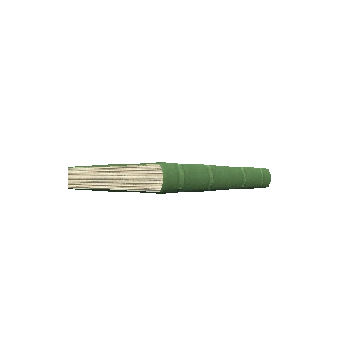
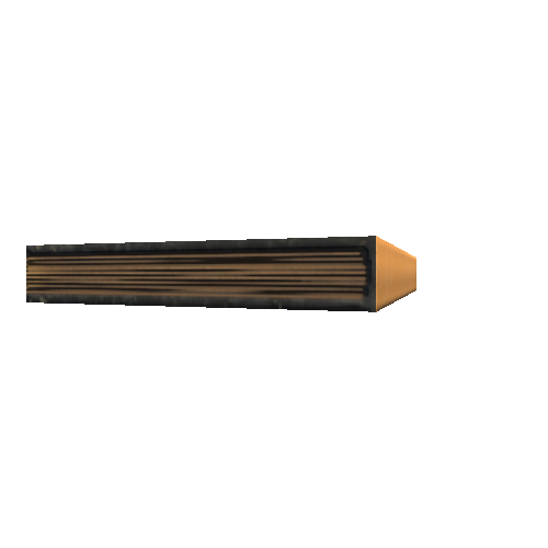
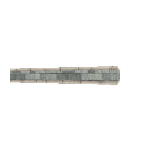
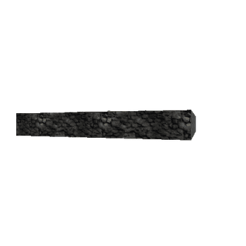
A probable buried boundary stone next to a flowerbed about 100 meters north west of Albert Gate, Hyde Park, London.
The stone is clearly marked at this exact location (as BS) on the 1953 OS map viewable here:
https://maps.nls.uk/view/103029318
The top is all that is visable but its curved surface and colour matches other nearby boundary stones.
It marks the boundary between the parishes of St George Hanover Square and St Margaret Westminster.
90 photos taken in August 2021 with a Sony a6000 and processed in Reality Capture.