Select or drop a image or 3D model here to search.
We support JPG, JPEG, PNG, GIF, WEBP, GLB, OBJ, STL, FBX. More formats will be added in the future.
Asset Overview
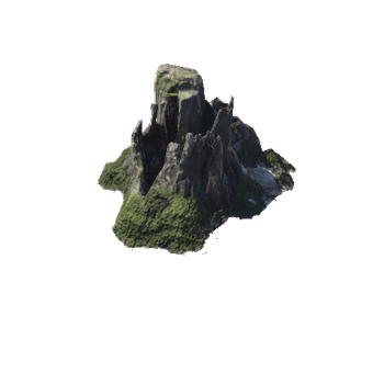
This was a test run for this fort as it is situated in a challenging location with no physical access and requiring total remote imaging. This is the "before" model and I will publish the final version alongside once it is complete. The aim of this project is to show the difference between raw models produced in Pix4D that were primarily meant for 2D orthomosaic mapping and projects specifically aimed at 3D.
This project used a DJI Inspire 1 with X5 camera, DJI Phantom 4 Pro and Pix4D Mapper software.
