Select or drop a image or 3D model here to search.
We support JPG, JPEG, PNG, GIF, WEBP, GLB, OBJ, STL, FBX. More formats will be added in the future.
Asset Overview
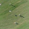
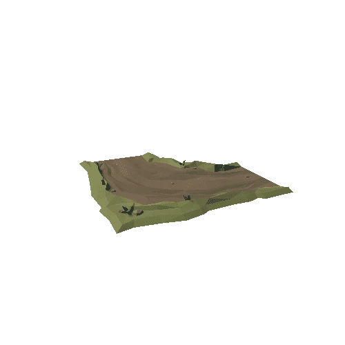
I made this 3D model of landscape around Shillingstone as a tribute to [Durotriges Project](https://twitter.com/Durotrigesdig) conducted by members and students of Bournemouth University. I just love the way they do it!
As of this model we have 2 really nice looking Iron age hillforts plus a roman fort in SW corner of Hod Hill Hillfort.
Also landscape around it is full of medieval furrows and pre-medieval field systems. Latter are visiable as light lines, that are creating patchy network. This are remains of a banks. Some are still used in medival times, some not.
Here I used Multi-hillshade and simple local relief model (SLRM) combined visualizations. SLRM is good to use in agricultural and flat landscapes, beacuse it shows slight changes on ground level.
This model is part of [#FridayLiDAR](https://twitter.com/search?q=%23FridayLiDAR&src=typd/) project on Twitter.
Thanks to Mike Gill, Avon Valley Archaeological Society for script that helps with texture coordinates.
Recommended for you


/Screenshots/C-3-1-S(A)_20.webp)
