Select or drop a image or 3D model here to search.
We support JPG, JPEG, PNG, GIF, WEBP, GLB, OBJ, STL, FBX. More formats will be added in the future.
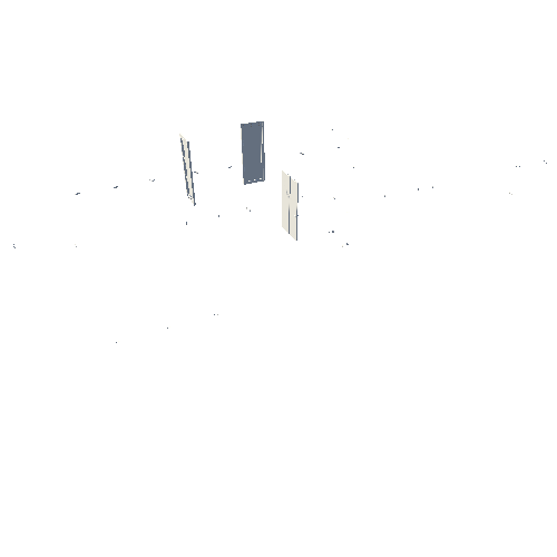
Asset Overview
Partial coverage of 19.6 hectare tile, resolution 1.5 cm/px, camera DJI Phantom 4 Pro.
The model only includes the eastern half of the Ledbeg 5 area shown on the Ledbeg Survey Index, as explained below.
The survey area rises from 160m to 260masl and the survey was flown at 75m above a launch altitude of 153masl, with predictable results. After a 45 minute walk the UAV was found inverted but undamaged.