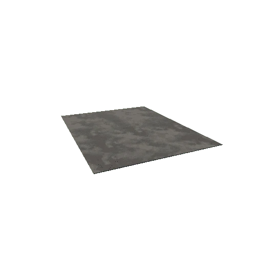
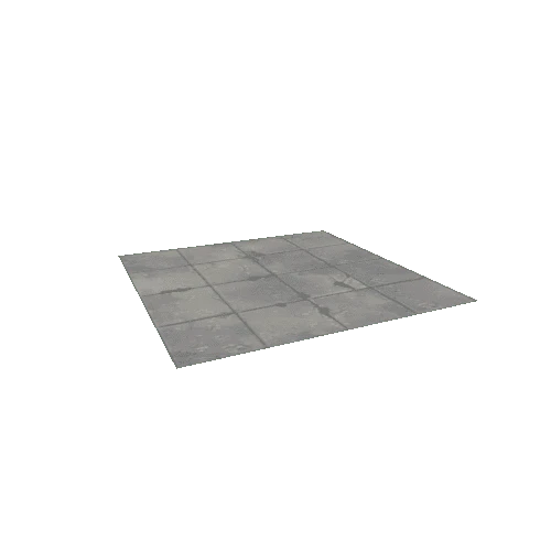
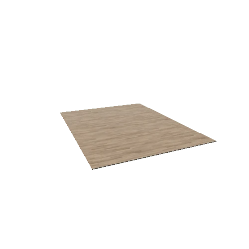
Select or drop a image or 3D model here to search.
We support JPG, JPEG, PNG, GIF, WEBP, GLB, OBJ, STL, FBX. More formats will be added in the future.
Asset Overview
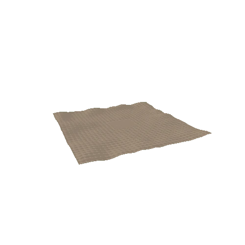
LiDAR model using EA Geomatics data of the 17th century water meadows near Britford and south of Salisbury on the River Avon. The water meadows were created in the late 17th century to provide early fodder for farm animals in late winter when feed is scarce and were used up to the 1950's. Some of the Britford meadows are still maintained and the site is protected as an SSSI.
For more information on the origin and development of these water meadows there is a pdf article download here http://www.bahs.org.uk/AGHR/ARTICLES/51n2a3.pdf
LiDAR processed and model created with Planlauf Terrain software https://www.planlauf.com/en/planlaufterrain/download-purchase/