Select or drop a image or 3D model here to search.
We support JPG, JPEG, PNG, GIF, WEBP, GLB, OBJ, STL, FBX. More formats will be added in the future.
Asset Overview
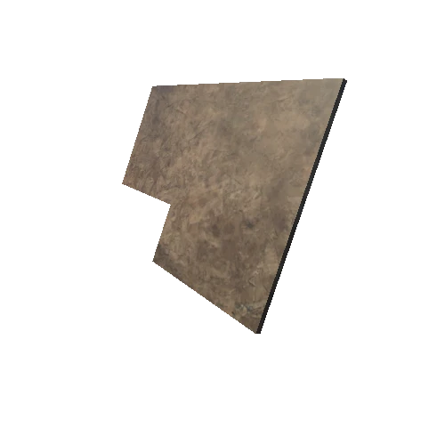
A wooden map of the Medieval connections between castles in Ssouthern Tuscany. Wooden model of a map representing the network of medieval castles between Mount Amiata and the Thyrrenian sea. Museum of Medieval Landscape, castle of Arcidosso, 2014.
Model was created in Reality Capture using 637 photographs. The Mt. Amiata Project is an ongoing GDH collaboration involving faculty and students at the University of Florence and the University of Siena. We could not have done this project without the considerable support of the Municipality of Arcidosso.