Select or drop a image or 3D model here to search.
We support JPG, JPEG, PNG, GIF, WEBP, GLB, OBJ, STL, FBX. More formats will be added in the future.
Asset Overview

[Located in Kerlouan](https://goo.gl/maps/HPtHFXwH8zF2) in France, this building was first hosting militiamen and guards tasked with contraband monitoring and coastal defense, and was surrounded by a small village - the hamlet of Meneham - which hosted farmers, fishermen and seaweed harvesters.
The last inhabitants left the village in the 1970's, which then felt to ruins, and was restored in the early 2000's.
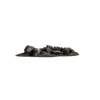
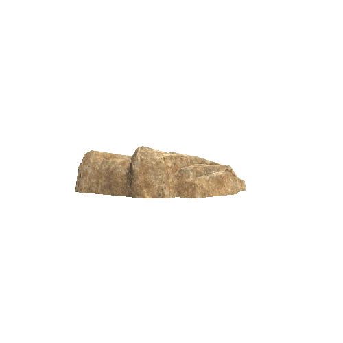
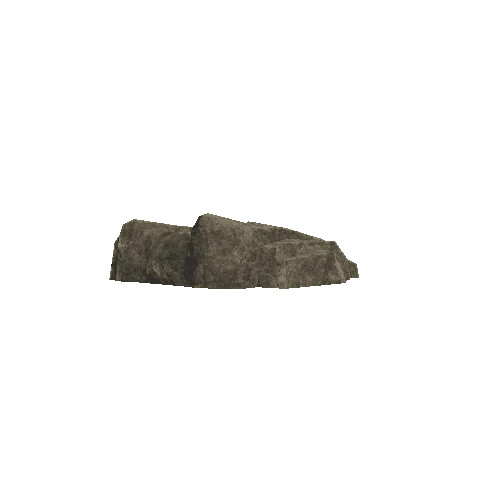
As I have no drone, the scanning of this location involved quite a bit of rock climbing, but I grew up near this lace, and already knew my way around the massive granite boulders !
I took 526 pictures (Canon Eos 1100D), from which 445 were used for the reconstruction in Colmap and OpenMVS.
The post-processing was done in Blender, where I had to fill in many holes and manually sculpt and paint the top of the biggest rocks. The model was finally remeshed and baked to a lighter version with [BakeMyScan](http://bakemyscan.org).


/Screenshots/Pillow_3 (1)_110.webp)