Select or drop a image or 3D model here to search.
We support JPG, JPEG, PNG, GIF, WEBP, GLB, OBJ, STL, FBX. More formats will be added in the future.
Asset Overview
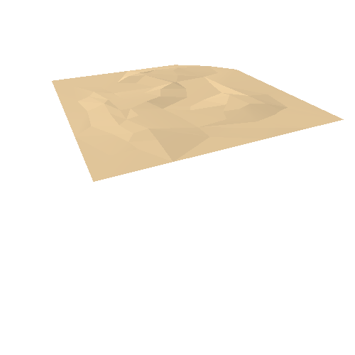
The top of the volcanic cone was quarried away by 1940 but based on the angle of the lower slopes, and historic photos and paintings from various angles, here is a rough estimate of how it might have looked. The cone looks like it was crescent shaped, with the sports field built into a breached crater opening to the west.
It was a Maori hillfort known as Owairaka, and would have had defensive terraces and ditches on the slopes. Auckland, New Zealand. Photogrammetry model made in 3DF Zephyr Free, with 1940 aerial photos from retrolens.nz, and a reconstruction of the volcanic cone added with Blender’s sculpting tools.
