Select or drop a image or 3D model here to search.
We support JPG, JPEG, PNG, GIF, WEBP, GLB, OBJ, STL, FBX. More formats will be added in the future.
Asset Overview
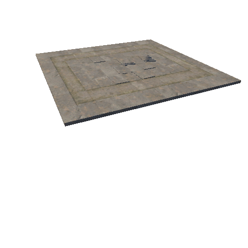
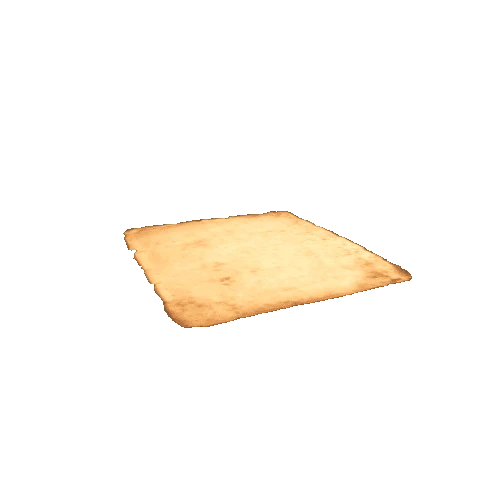
The volcanic cone was quarried away for railway ballast by the 1940s but based on outer slope and crater remants visible in aerial photos, and other historic photos, here is a rough estimate of how it might have looked. It looks like the crater was fairly shallow, possibly breached to the west, and the main summit was on the south side of the crater. In Searle's book Volcanoes of Auckland City, Mt Smart is described as "a broad, squat scoria cone, originally with a height of about 300 ft ...Hochstetter (1864) described the mound as having three summits set about an irregular crater."
The hill was a Maori hillfort known as Rarotonga, with the summit fortified with terraces and probably wooden pallisades. I've put a summit ring-ditch on the model but haven't added the terraces visible in photos on the eastern slopes. Auckland, New Zealand. Photogrammetry model made in 3DF Zephyr Free, with 1940 aerial photos from retrolens.nz, and a reconstruction of the volcanic cone added with Blender's sculpting tools.