Select or drop a image or 3D model here to search.
We support JPG, JPEG, PNG, GIF, WEBP, GLB, OBJ, STL, FBX. More formats will be added in the future.
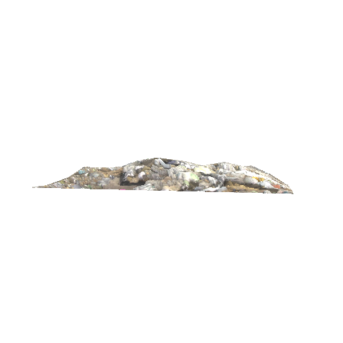
Asset Overview
Mount St. Helens erupted May 18th, 1980, becoming the deadliest and most economically destructive volcanic event in US history. The eruption and subsequent catastrophic events were eye-opening to many geologists and biologists as to the processes of rapid geologic change, as well as rapid bounce-back of both flora and fauna.
One such example of rapid geologic change was the formation of horizontal sediment deposition and canyon formation. Loowit Canyon, Step Canyon, and Engineer's Canyon were all carved quickly in the face of Mount St. Helen's. Engineer's Canyon was carved in soft sediment 100 feet deep from a single event, in a single day.
The events at Mount St. Helens on May 18 and subsequent events over the next few years help us understand the potential of other catastrophic events in the past which have helped shape our world rapidly and not necessarily by slow, uniformitarian process. -Nate Loper