Select or drop a image or 3D model here to search.
We support JPG, JPEG, PNG, GIF, WEBP, GLB, OBJ, STL, FBX. More formats will be added in the future.
Asset Overview
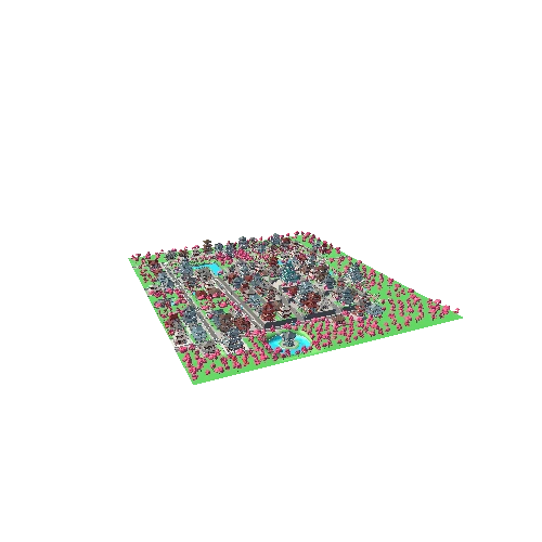
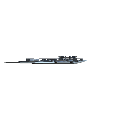
[Nendrum Monastery](http://www.placenamesni.org/resultdetails.php?entry=12163) was a Christian monastic site on Mahee Island in [Strangford Lough](https://goo.gl/maps/iRXSTK2rqCo), County Down, Northern Ireland. Medieval records say it was founded in the 5th century, but this is uncertain. The monastery came to an end at some time between 974 and 1178, but its church served a parish until the site was abandoned in the 15th century. Archaeological remains of the monastery can still be seen at the site. Nendrum has undergone numerious excavations including the discovery of a Tidal Mill in the bay to the North of the island site. This model was created by a drone imaging survey (Summer 2018) and the Digital Terrain Model (DTM) reconstruction was created using Structure from Motion (SfM) software techniques. CG2018.