Select or drop a image or 3D model here to search.
We support JPG, JPEG, PNG, GIF, WEBP, GLB, OBJ, STL, FBX. More formats will be added in the future.
Asset Overview
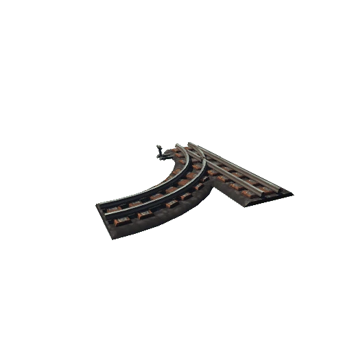
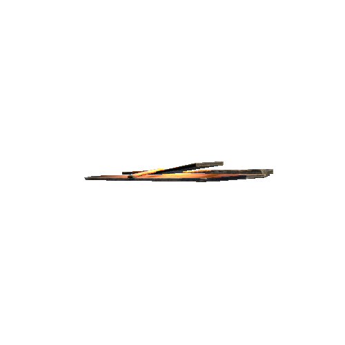
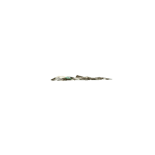
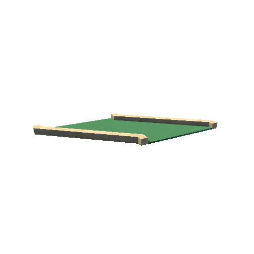
This black and white ground marker, originally a chequerboard pattern and made of tar and lime has been eroding out of the shingle ridge at Orford Ness. A marker in the same place can be seen on Google Earth aerial photographs dating back to 1945, as well as on images at [Britain from Above](http://www.britainfromabove.org.uk/).
This model was created using images from multiple cameras and smartphones sent in by CITiZAN volunteers during a survey weekend on Orford Ness. Some of the textures are therefore of varied quality across the model but it also shows how many people can contribute to the building of one model.
Erosion means this feature was completely lost to the sea by 2019, but at least we still have this model to be able to look at its features and construction.