Select or drop a image or 3D model here to search.
We support JPG, JPEG, PNG, GIF, WEBP, GLB, OBJ, STL, FBX. More formats will be added in the future.
Asset Overview
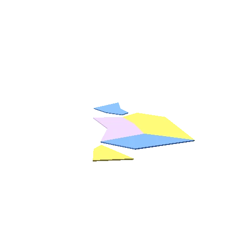
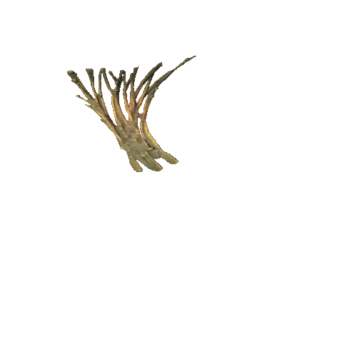
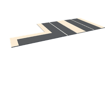
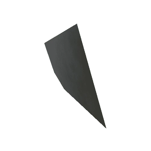
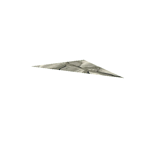
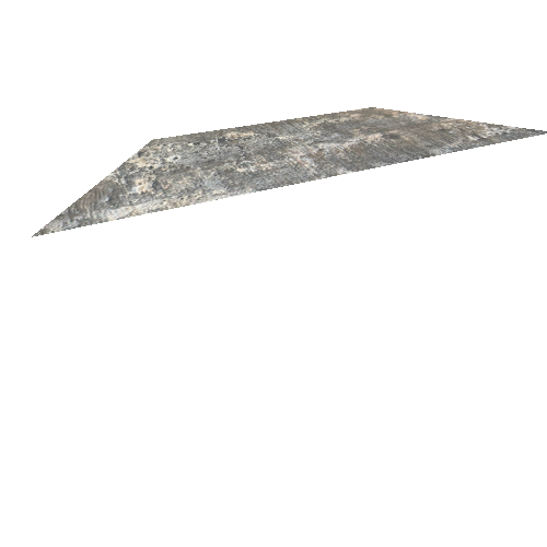
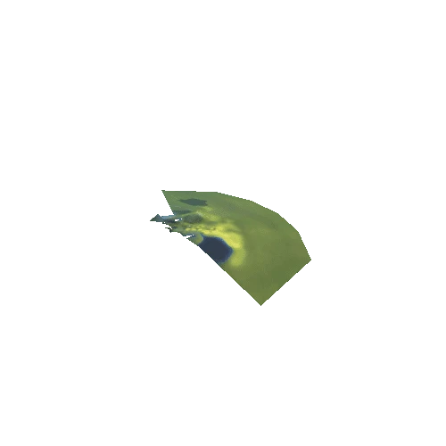
A test to see how well the software would model a large area. These 1940 aerial photos of the South Kaipara peninsula, New Zealand, show the Muriwai Beach sand dunes before they were planted in pine forest. I marked a few of the Maori Pa or hillforts that are located around the peninsula.
The line of sand dune lakes running up the peninsula were named in Maori 'the footprints of Kawharu', after the reputedly giant warrior Kawharu, who had travelled north from Kawhia to help the Ngati Whatua fight against the local Kawerau tribe. He was killed in around 1680 at the Waiherunga Pa (hillfort) which was described as being a little to the north of Taumata creek.
Aerial photos from retrolens.nz . My 3D model from photos generated with photogrammetry software 3DF Zephyr v5.019 processing 29 images