Select or drop a image or 3D model here to search.
We support JPG, JPEG, PNG, GIF, WEBP, GLB, OBJ, STL, FBX. More formats will be added in the future.
Asset Overview
# Roman Rural Landscapes in Noricum | PhD project
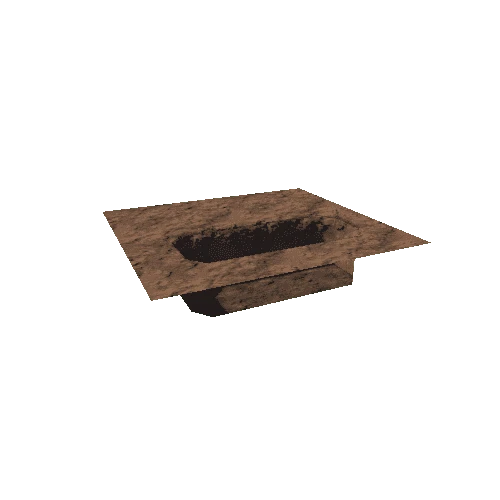
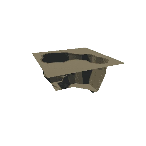
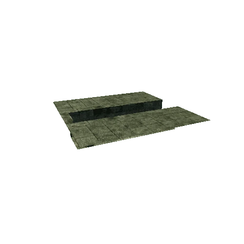
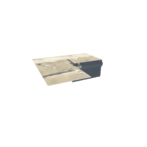
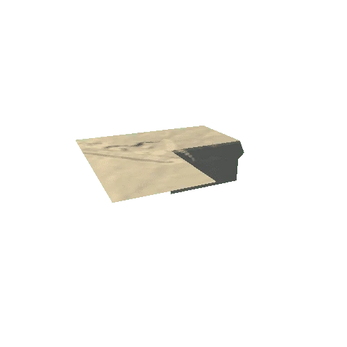
The Roman rural site of *Petzenkirchen* in Lower Austria is located on the right bank of the river Erlauf – archaeological excavations at the village district *Breiteneich* revealed features and finds that can be assigned to a Roman *villa rustica* located in the hinterland of the Danube limes/*ripa*. Several wells were found at the site, the one presented here is a shaft well built of unhewn natural stones (stratigraphic unit SE 691) with a simple bottom.
The site serves as case study within the Area of Special Interest of my PhD project [*'Roman Rural Landscapes in Noricum'*](https://rrl.univie.ac.at/forschung/rrln/).
* Find it on [OpenStreetMap](https://www.openstreetmap.org/#map=18/48.14627/15.15589).
* **Data provided by [ASINOE GmbH](http://www.asinoe-gmbh.at/)**
* DOI: