Select or drop a image or 3D model here to search.
We support JPG, JPEG, PNG, GIF, WEBP, GLB, OBJ, STL, FBX. More formats will be added in the future.
Asset Overview
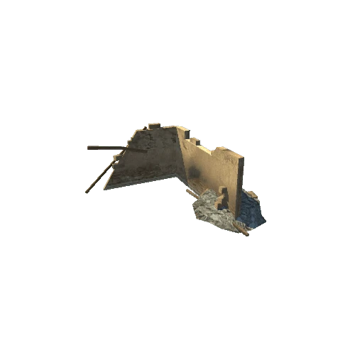
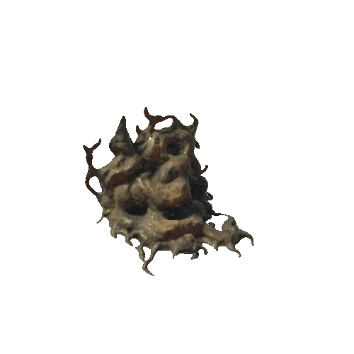
When geologists can’t look at rocks because they are several kilometers underground, they go look at similar rocks on surface. A type of rock (greywacke schist), similar to rocks deep under the Taupō Volcanic Zone in the central North Island, is exposed at Rarangi near Blenheim.
The team took numerous pictures using a standard camera. All these pictures were then combined to make this 3D view.
The data will be used to measure the organization of fractures and veins at Rarangi then extrapolate to what could be deep under the Taupō Volcanic Zone.
North and Eastern side of Monkey Bay. [Western side here](https://sketchfab.com/3d-models/rarangi-monkey-bay-part-2-9da967e0f15a41e186d1e6fcf646378c)
More info on outcrop analogue studies for the [Geothermal Next Generation project](https://www.geothermalnextgeneration.com/updates/exploring-deep-basement-rocks-from-the-surface)
* Images by Sarah D. Milicich, Cécile Massiot and Siru Jylhänkangas
* Model edited by Andrew Boyes in Agisoft Metashape