Select or drop a image or 3D model here to search.
We support JPG, JPEG, PNG, GIF, WEBP, GLB, OBJ, STL, FBX. More formats will be added in the future.
Asset Overview
# Welcome Explorer 🔱
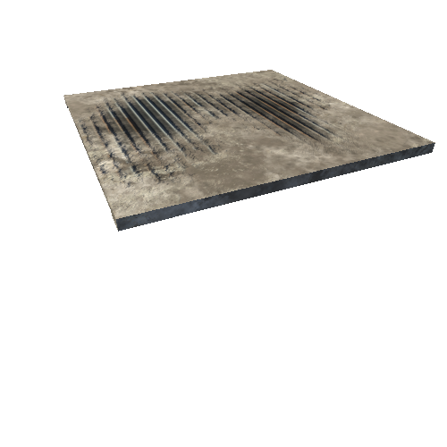
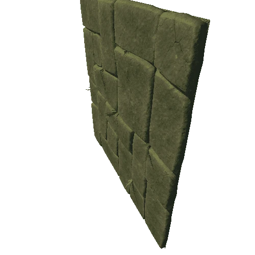
🌍 In 2021 our team has completed an expedition to the "**Eye of the Sahara**" (Mauritania, North-west Africa) to document and explore the most likely location of Atlantis in the Richat Structure.
🔎 We documented multiple fortresses and collected various samples. We are currently examining and organizing the data with experts, so the results will be published in our interactive documentary movie. (It's coming soon, so feel free to subscribe and follow to stay updated)
atlantis-together.com
📜 The area of the Richat Structure matches Plato's description of Atlantis and multiple other reasons suggest that "the lost city" could have been located there. However, the Richat Structure was never excavated by modern archaeological methods and interdisciplinary research so it's important to explore and globally organize the crowdfunded excavation.
📹 3D model created by András Sörös:
facebook.com/andras.soros.3
👁️🗨️Have a great exploration! 🔎📜
atlantis-together.com