Select or drop a image or 3D model here to search.
We support JPG, JPEG, PNG, GIF, WEBP, GLB, OBJ, STL, FBX. More formats will be added in the future.
Asset Overview
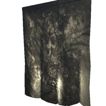
This ~11-million point cloud dataset is decimated and fused down from the original ~65-million point cloud.
The original cloud was segmented into two sections, this one being the detail section and the other (to be uploaded later) contained the more noisy background points comprising background and sky features from the scan. That one was used to drive fog/lighting details in a render.
Location: along the walking path at Riverfront Park
Google Maps: https://goo.gl/maps/1YhWLMDRVAzyrFRE9
Scan made with colmap using frames extracted from wide angle footage from an older GoPro.
All geometry wrangling, animation and rendering performed using Houdini.
Sea U Soon,
-Alan/Organic
This signal was analyzed by Organic.
Additional data may be found here:
https://www.instagram.com/p/CH66-rNHEea/
OrganicComputer:
https://www.instagram.com/organiccomputer
https://www.youtube.com/c/OrganicComputer
ArtByOrganic:
https://www.facebook.com/ArtByOrganic
https://www.patreon.com/artbyorganic
