Select or drop a image or 3D model here to search.
We support JPG, JPEG, PNG, GIF, WEBP, GLB, OBJ, STL, FBX. More formats will be added in the future.
Asset Overview
**[Waldling/Upper Austria](https://sketchfab.com/3d-models/villa-rustica-at-waldling-2016-2018s-results-6f373307dd74413487b86d6cc19f60d6)**
#
Excavation activities were carried out in 2021 in collaboration with [Archaeo Perspectives](https://www.archaeo-perspectives.at/), and [Römerweg OVILAVA](http://roemerweg.at/) at the Roman rural site near the ancient Roman city of Ovilavis (today's Wels).
#
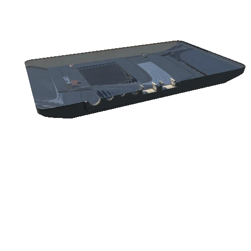
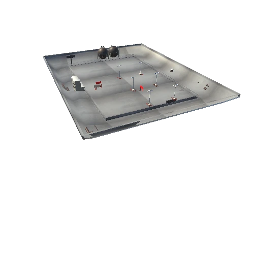
The 3d model of trench 2/2021 at the Roman rural site of Waldling in Upper Austria marks the final stage after all archaeological features were removed and theri negatives as well as geological sediments only remained.
#
The model was generated using photos taken by a DJI Mavic 2 Pro UAS.
#
[Compare this model to another one generated using an iPad Pro's LiDAR scanner.](https://sketchfab.com/3d-models/excavation-roman-villa-of-waldling-2021-08-18-54e85b63401e4f12908802ba76265bb1)
#
- [**learn more**](https://rrl.univie.ac.at/forschung/ooe)
#
DOI: [10.5281/zenodo.5639654](https://doi.org/10.5281/zenodo.5639654)