Select or drop a image or 3D model here to search.
We support JPG, JPEG, PNG, GIF, WEBP, GLB, OBJ, STL, FBX. More formats will be added in the future.
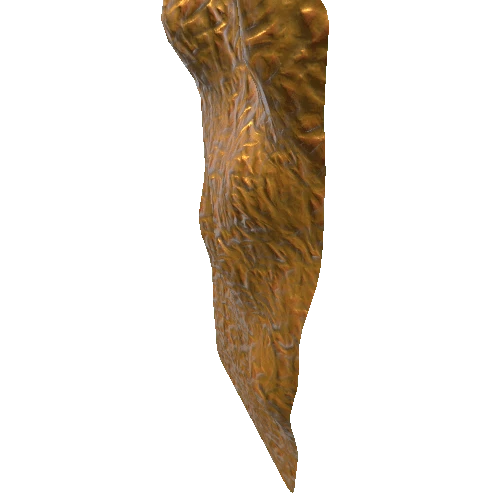
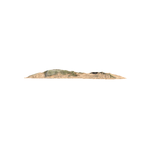
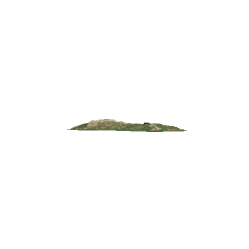
Asset Overview
VR-ready
---
Location: [OpenStreetMap](https://osm.org/go/evfLicOYJ?m=).
Inputs: [Flickr](https://www.flickr.com/photos/danielmuirhead/collections/72157711443966693/).
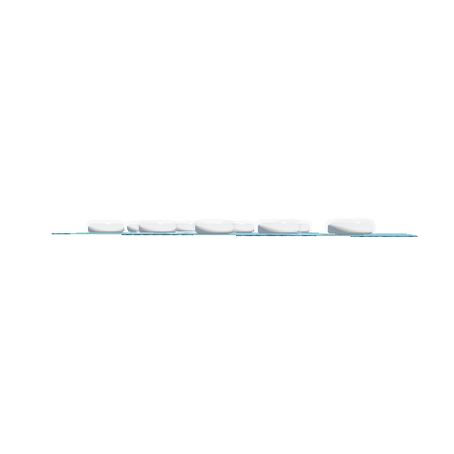
Camera positions:

---
Photogrammetry model was generated in 3DF Zephyr 4.513 with additional processing performed in Meshlab and Blender. Model was scaled to real world dimensions with reference to [this old map](https://maps.nls.uk/view/102734009).