Select or drop a image or 3D model here to search.
We support JPG, JPEG, PNG, GIF, WEBP, GLB, OBJ, STL, FBX. More formats will be added in the future.
Asset Overview
The earliest block house version of the fort was constructed by King Henry VIII. Following naval raids during the Anglo-Dutch Wars, the fort was enlarged by Sir Bernard de Gomme from 1670 onwards to form a star-shaped defensive work, with angular bastions, water-filled moats and two lines of guns facing onto the river.
A new artillery battery was added in the south-east corner during the Napoleonic Wars. The fort became less significant as military technology developed in the 19th century. It was redeveloped to hold heavy artillery after 1868, providing a second-line of defence along the river, but further changes in technology meant that it had become obsolete by the end of the century. Instead Tilbury became a strategic depot for storing & moving troops & materiel throughout WWI. The fort had a limited role in WWII & was demobilised in 1950
More info. here https://en.wikipedia.org/wiki/Tilbury_Fort
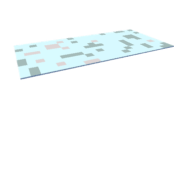
Produced from EA Geomatics data http://environment.data.gov.uk/ds/survey/#/survey using Planlauf Terrain