Select or drop a image or 3D model here to search.
We support JPG, JPEG, PNG, GIF, WEBP, GLB, OBJ, STL, FBX. More formats will be added in the future.
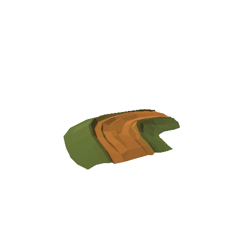
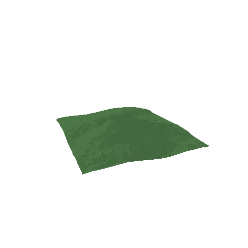
Asset Overview
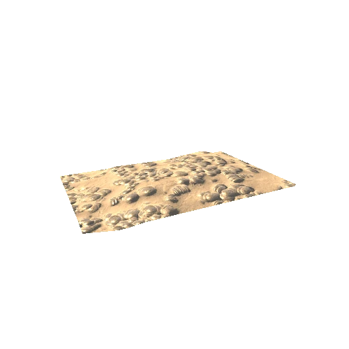
Twmbarlwm (the bare-topped hill) is located at the southern end of the Mynydd Henllys ridge. It overlooks the Ebbw Valley and Risca and has panoramic views in all directions. The summit of the hill is enclosed by the remains of a possible Iron Age hillfort covering 4.14ha. The defensive circuit is oval and consists of a rampart bank, ditch and outer counterscarp bank. The southern defences appear unfinished with a chain of quarry hollows visible to the west. There is no visible entrance to the hillfort. The southern gap is a later breach of the rampart and the western gap is either a later breach or was never closed. There are no settlement earthworks visible inside the hillfort. A mound near the motte ditch is thought to be a robbed out Bronze Age burial mound. The motte mound at the east end is undated and there is no documentary evidence for it, but it is thought to be Norman (late 11th century AD) in date and has an outer rock cut ditch.
Visit the Twmbarlwm Society webpage http://www.twmbarlwm.co.uk/