Select or drop a image or 3D model here to search.
We support JPG, JPEG, PNG, GIF, WEBP, GLB, OBJ, STL, FBX. More formats will be added in the future.
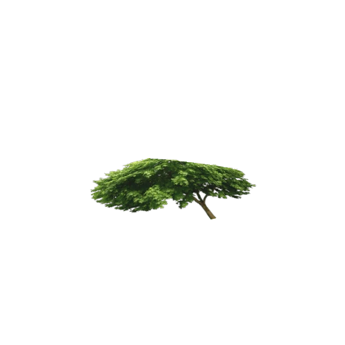
Asset Overview
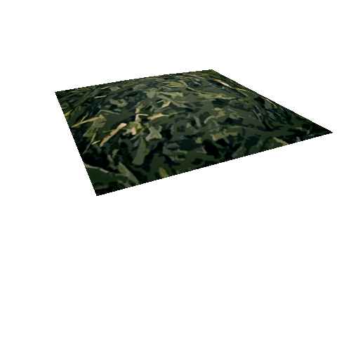
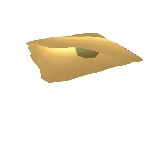
Twmbarlwm (the bare-topped hill) is located at the southern end of the Mynydd Henllys ridge. It overlooks the Ebbw Valley and Risca in South Wales and has panoramic views in all directions.
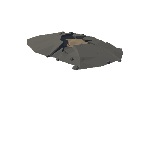
This is the digital surface model version of the drone derived data. The photo-realistic model with detailed annotations of features can be seen here https://skfb.ly/6yyxW
The contrast and lighting in this model has been optimized to show the detail of the hillfort defences, the gaps in the hillfort defences which are later breaches through the rampart and the unfinished southern rampart which displays quarry hollows and dumps of spoil. Also visible are the fine parallel stripes in the southern half of the hillfort of plough grooves for undated possible tree or crop planting.
The Norman period (late 11th c. AD) motte castle mound lies at the eastern end of the hillfort.
Visit the Twmbarlwm Society webpage http://www.twmbarlwm.co.uk/