Select or drop a image or 3D model here to search.
We support JPG, JPEG, PNG, GIF, WEBP, GLB, OBJ, STL, FBX. More formats will be added in the future.
Asset Overview
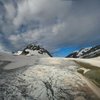
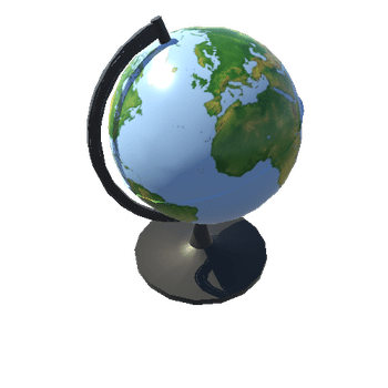
A part of the western United States as a relief map I created from a NASA globe displayed at EROS Data Center. I used six photos to create this model map. I didn't get adequate photographic coverage for the remainder of the eastern United States or the rest of North America so I can't model it (for now).
I have always had a soft spot for cartography. I think it came from reading so many National Geographic magazines as a child. I still find old classroom relief maps at antique stores from time to time and have to resist buying them.