Select or drop a image or 3D model here to search.
We support JPG, JPEG, PNG, GIF, WEBP, GLB, OBJ, STL, FBX. More formats will be added in the future.

83 Assets
3/6


Package Overview
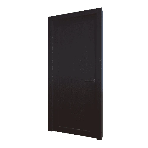
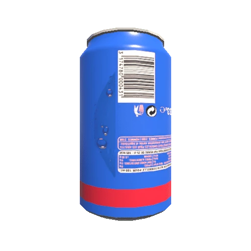
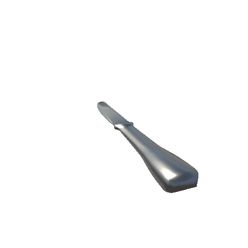
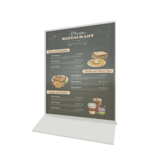
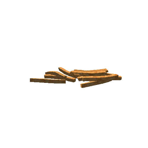
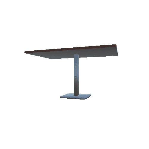
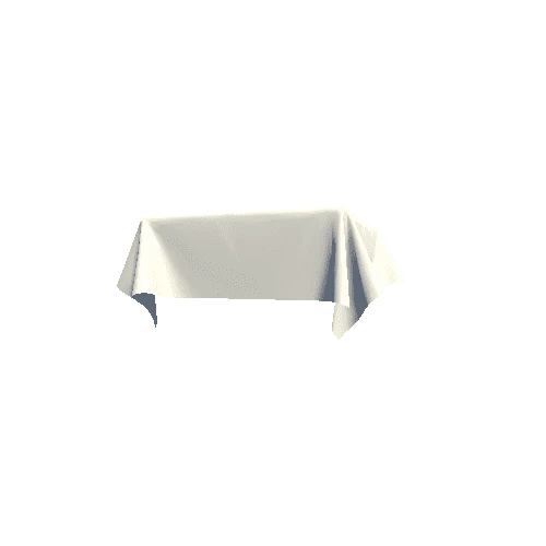
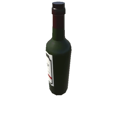
Interior of a restaurant that can also be a cafeteria with a total of 85 different models. Inside the restaurant you can find lots of objects and furniture of a real restaurant. There are two types of tables, four types of chairs, a wooden bar, three types of lamps, decoration...
All the models are low-poly to be used in games and applications.
Included:
- 1 Demo - Camera
- 85 Models and prefabs / low poly
- Average model poly between 200 - 5000.
- Textures png format (1024 x 1024)
- Real scale of the models
Included:
- 1 Demo - Camera
- 85 Models and prefabs / low poly
- Average model poly between 200 - 5000.
- Textures png format (1024 x 1024)
- Real scale of the models