Select or drop a image or 3D model here to search.
We support JPG, JPEG, PNG, GIF, WEBP, GLB, OBJ, STL, FBX. More formats will be added in the future.
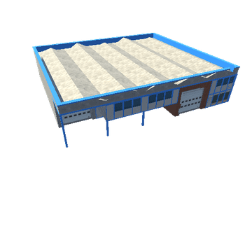
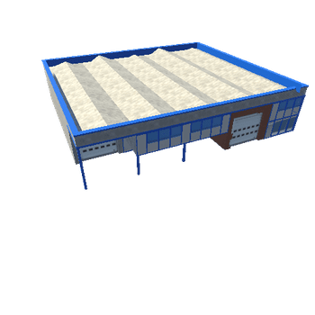
Asset Overview
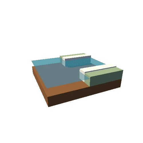
This model is created using program tectoplot (https://github.com/kyleedwardbradley/tectoplot), for module ES3102 Global Tectonics, ASE, NTU.
Topography is from GMT’s online topography database (01s); seismicity data are from ISC; focal mechanisms are from GCMT;
tectoplot code:
1) to generate a geotiff file of the regional map with oblique perspective
tectoplot -r 143.5 144.5 42.7 43.7 -t 01s -vc red 0.5p 0.12i -z -zcat ISC -zmag 5.5 10 -zline 0 -c -cmag 7 10 -zcrescale 1.2 -geotiff -noframe
2) to output a 3d model from the .tif file generated previously
tectoplot -r 143.5 144.5 42.7 43.7 -t 01s -timg map.tif -makeply vexag 2 topoexag 3 ocean maxsize 800 sidebox 10 gray maptiff